Wardha River
Template:Short description Template:Use dmy dates Template:Use Indian English Script error: No such module "Infobox".Template:Template otherScript error: No such module "Check for unknown parameters". The Wardha River, also known as the Varada River, is a major river in Vidarbha, Maharashtra, which originates in the Satpura Range and flows into the Wain ganga river to form the Pranhita river which finally joins the Godavari river.[1][2][3]
Origin
The Wardha river originates at an altitude of Script error: No such module "convert". in the Satpura Range near Khairwani village in Multai tehsil, Betul District, Madhya Pradesh.
Course
From its origin, it flows for Script error: No such module "convert". in Madhya Pradesh and then enters into Maharashtra. After travelling for another Script error: No such module "convert"., it joins the Wainganga, forming the Pranahita, which ultimately flows into the Godavari River.The river has developed extensive floodplains characterized by sweeping graceful meanders, low alluvial flats, and slip-off slopes.
Tributaries
Script error: No such module "Unsubst". The Kar, Wena, Jam, and Erai are its left-bank tributaries, while the Madu, Bembala, and Penganga are its right-bank tributaries. The Bembla, is also an important tributary of River Wardha.
Dams
The Upper Wardha Dam is located on the Wardha river near Morshi. It is considered a lifeline for the city of Amravati and the Morshi and Warud Talukas.[4] The Lower Wardha Dam is located near Warud Bagaji and Dhanodi in Amravati District. It caters to Wardha District. A dam on the Bembala River has been constructed near Babhulgaon in Yavatmal district, and is considered a lifeline for part of Yavatmal.
Notes
<templatestyles src="Reflist/styles.css" />
- ↑ Wardha River (Approved) at GEOnet Names Server, United States National Geospatial-Intelligence Agency
- ↑ Varadā (Variant) at GEOnet Names Server, United States National Geospatial-Intelligence Agency
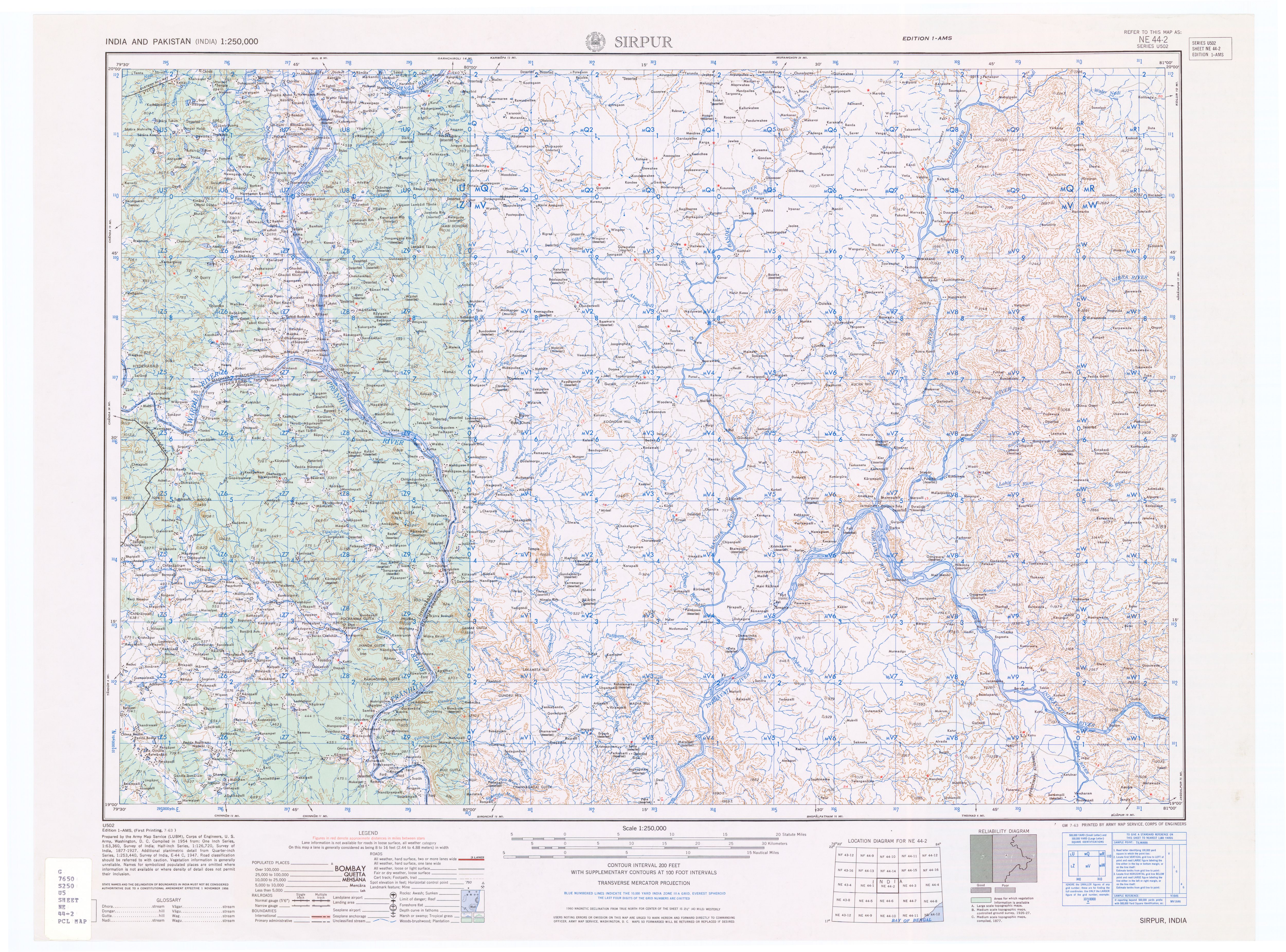
- ↑ Topographic map "Sirpur, India, NE-44-02, 1:250,000" Series U502, US Army Map Service, July 1963
- ↑ Script error: No such module "citation/CS1".
Script error: No such module "Check for unknown parameters".Template:Sister project
Template:Hydrography of Madhya Pradesh Template:Hydrography of Maharashtra Template:Godavari basin
Script error: No such module "Coordinates".