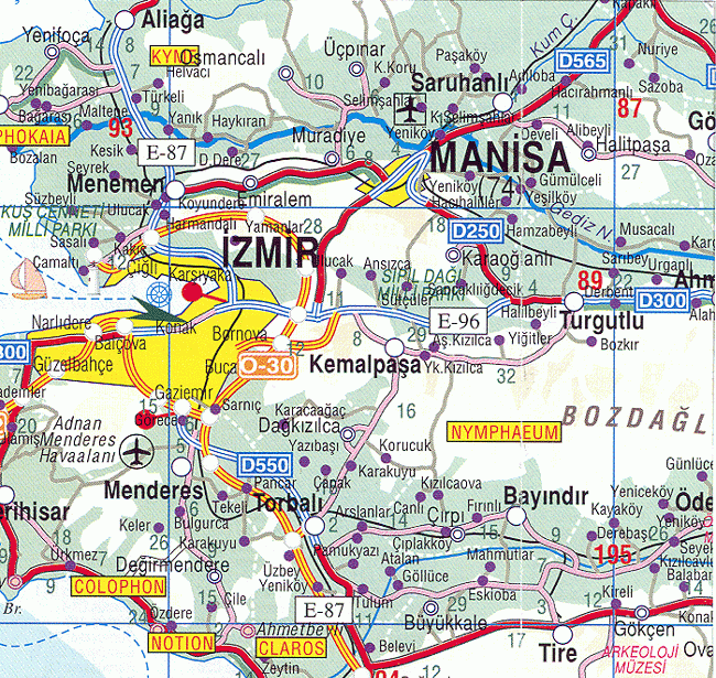
Saruhanlı
Jump to navigation
Jump to search
Template:Infobox Turkey place Saruhanlı is a municipality and district of Manisa Province, Turkey.[1] Its area is 771 km2,[2] and its population is 56,523 (2022).[3] The town lies at an elevation of Template:Convert.[4]
Agriculture
Olive, walnut and almond cultivation is among the important agricultural activities of Saruhanlı.[5]
Composition
There are 50 neighbourhoods in Saruhanlı District:[6] Template:Div col
- Adiloba
- Alibeyli
- Apak
- Atatürk
- Aydınlar
- Azimli
- Bahadır
- Bedeller
- Büyükbelen
- Çakmaklı
- Çaltepe
- Çamlıyurt
- Cengiz Topel
- Çerkez Osmaniye
- Çınaroba
- Çullugörece
- Cumhuriyet
- Develi
- Dilek
- Gökçeköy
- Gözlet
- Gümülceli
- Hacımusa
- Hacırahmanlı
- Halitpaşa
- Hatipler
- Heybeli
- İshakçelebi
- İstasyon
- Kayışlar
- Kemiklidere
- Kepenekli
- Koldere
- Koyuncu
- Kumkuyucak
- Kurtuluş
- Lütfiye
- Mütevelli
- Nuriye
- Paşa
- Pınarbaşı
- Sarıçam
- Sarısığırlı
- Saruhan
- Şatırlar
- Şehitler
- Seyitoba
- Taşdibi
- Tirkeş
- Yılmaz
References
External links
- ↑ Büyükşehir İlçe Belediyesi, Turkey Civil Administration Departments Inventory. Retrieved 12 July 2023.
- ↑ Script error: No such module "citation/CS1".
- ↑ Script error: No such module "citation/CS1".
- ↑ Script error: No such module "citation/CS1".
- ↑ Script error: No such module "citation/CS1".
- ↑ Mahalle, Turkey Civil Administration Departments Inventory. Retrieved 19 September 2023.