Panzara River
Jump to navigation
Jump to search
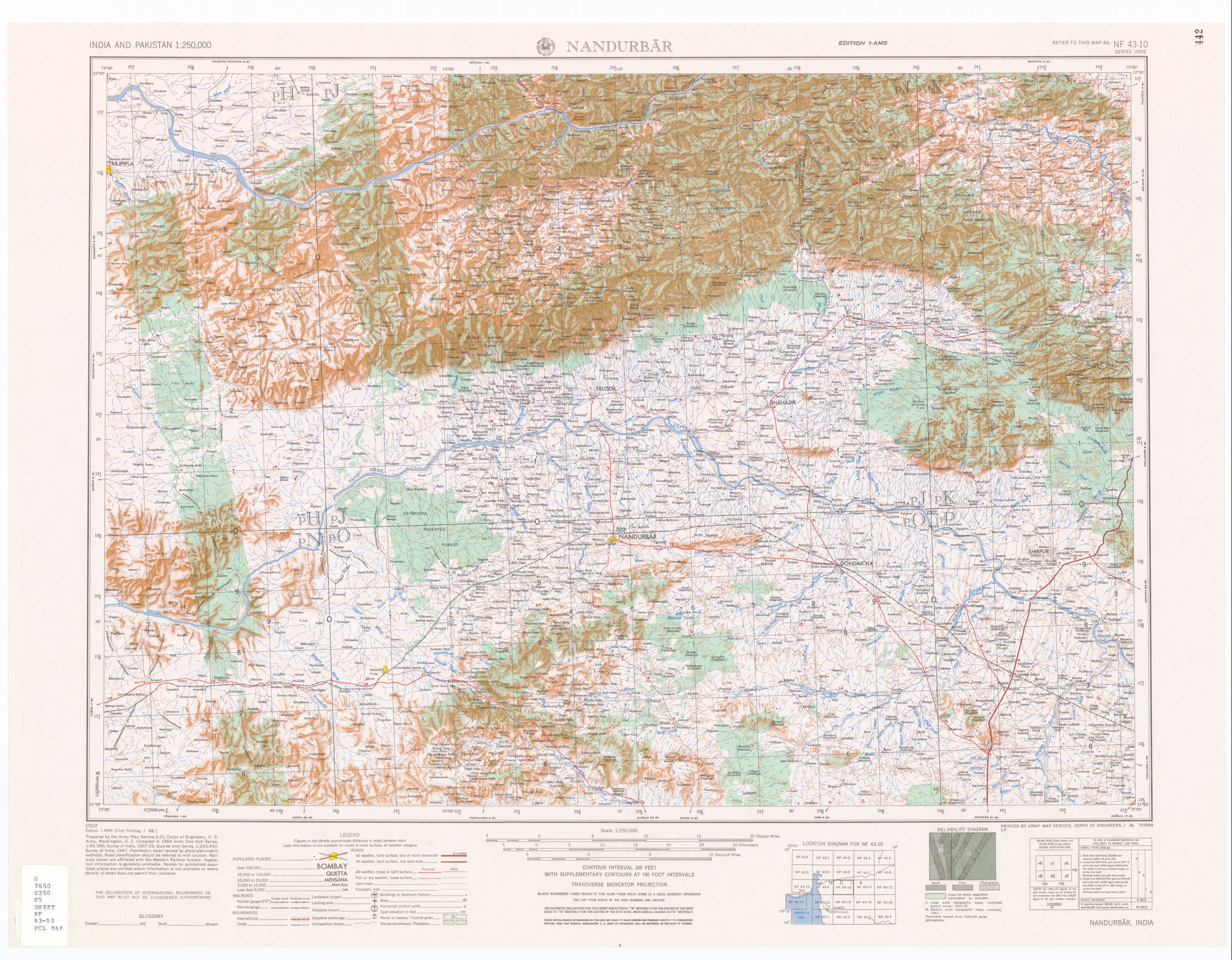
The Panzara-Kan or Panjhra[1] is a river in the Khandesh region of the Maharashtra state of India. It is a tributary of the Tapi River. The Panjhra River originates just few kilometers from the small town of Pimpalner Tal - Sakri in Dhule District.
Akkalpada Dam is built on Panzara River in Sakri Taluka
At its headwaters is a small reservoir which was created when the Latipada Dam was constructed.
Notes
<templatestyles src="Reflist/styles.css" />
- ↑ "Topographic Map 1:250,000, NF 43-10 Nandurbar, India" Series U502, U.S. Army Map Service, July 1956
Script error: No such module "Check for unknown parameters".
Template:Hydrography of Maharashtra Template:Hydrography of Gujarat
Script error: No such module "Coordinates".