New Point Comfort
Template:Short description Script error: No such module "Unsubst".
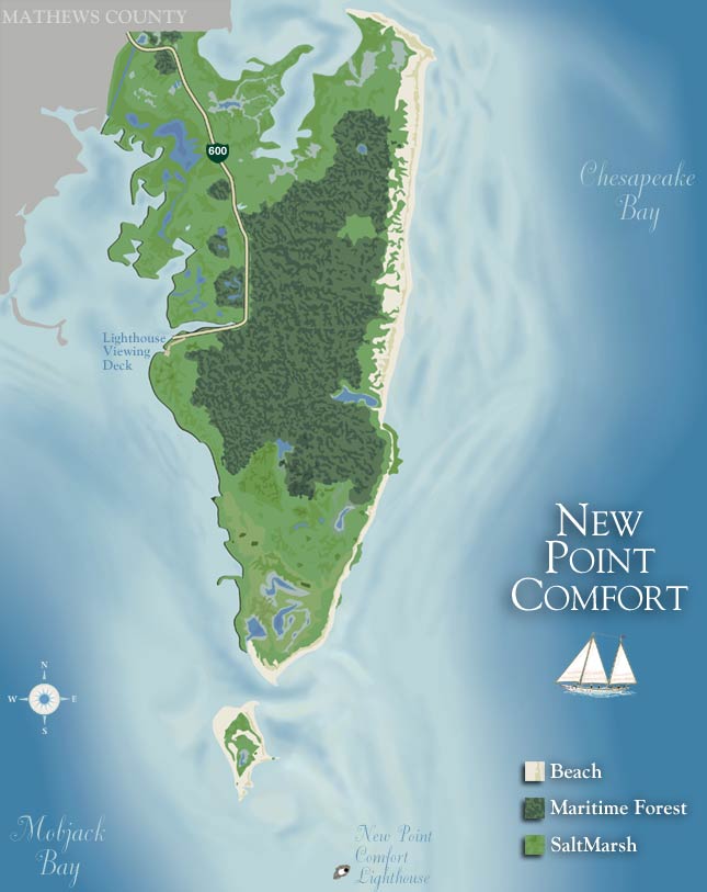
New Point Comfort is a point of land located in Mathews County at the tip of Virginia's Middle Peninsula in the lower Chesapeake Bay in the United States. It is the site of the New Point Comfort Natural Area Preserve and the New Point Comfort Light.
Geography
The tip New Point Comfort is now on an island separated from the mainland of Mathews County south of the unincorporated town of Bavon at the mouth of Mobjack Bay. It is Script error: No such module "convert". north of Old Point Comfort in Phoebus, Hampton. The peninsula to the north of the point, from Peppers Creek and Horn Harbor southward, is also called New Point Comfort.
History
English explorer John Smith passed by New Point Comfort in 1608 when returning to Jamestown from the northern Chesapeake Bay. The New Point Comfort Light was built from 1802–1805 and by 1852, it was partially cut off by the sea and formed a new island. In 1904, the New Point Comfort Development Company was formed to build a resort on the peninsula by reclaiming the marsh that separated the lighthouse from the mainland and building beaches. However, the prohibitive cost doomed the project and the business went bankrupt. In 1933, the Chesapeake Potomac Hurricane and the Outer Banks Hurricane definitively severed the lighthouse from the mainland and it now is about Script error: No such module "convert". from shore on a small riprap island.
External links
- New Point Comfort Lighthouse Chesapeake Bay, Virginia
- Map of New Point Comfort
- New Point Comfort Natural Area Preserve website
- New Point Comfort lighthouse at LighthouseFriends.com
Script error: No such module "Coordinates".
Script error: No such module "Authority control".