Cime de la Bonette
Template:Short description Template:Infobox mountain
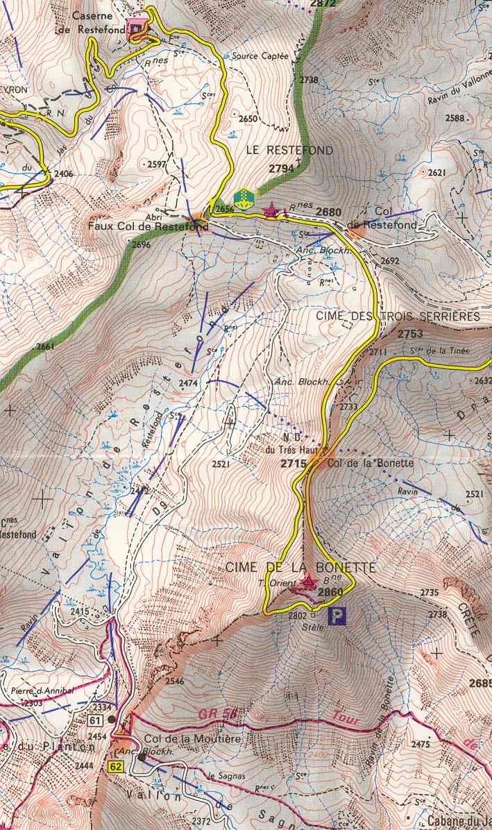
Cime de la Bonette (el. Script error: No such module "convert".) is a mountain in the French Alps, near the border with Italy. It is situated within the Mercantour National Park on the border of the departments of Alpes-Maritimes and Alpes-de-Haute-Provence, between the Ubaye Valley and the valley of the Tinée River.
"Cime" means "summit" in French.
The summit is surrounded by road from the Col de la Bonette, which reaches Script error: No such module "convert"., and is the second highest paved through route in the Alps. It is also the highest point ever reached by the Tour de France.[1]
See also
References
<templatestyles src="Reflist/styles.css" />
- ↑ Script error: No such module "citation/CS1".
Script error: No such module "Check for unknown parameters".